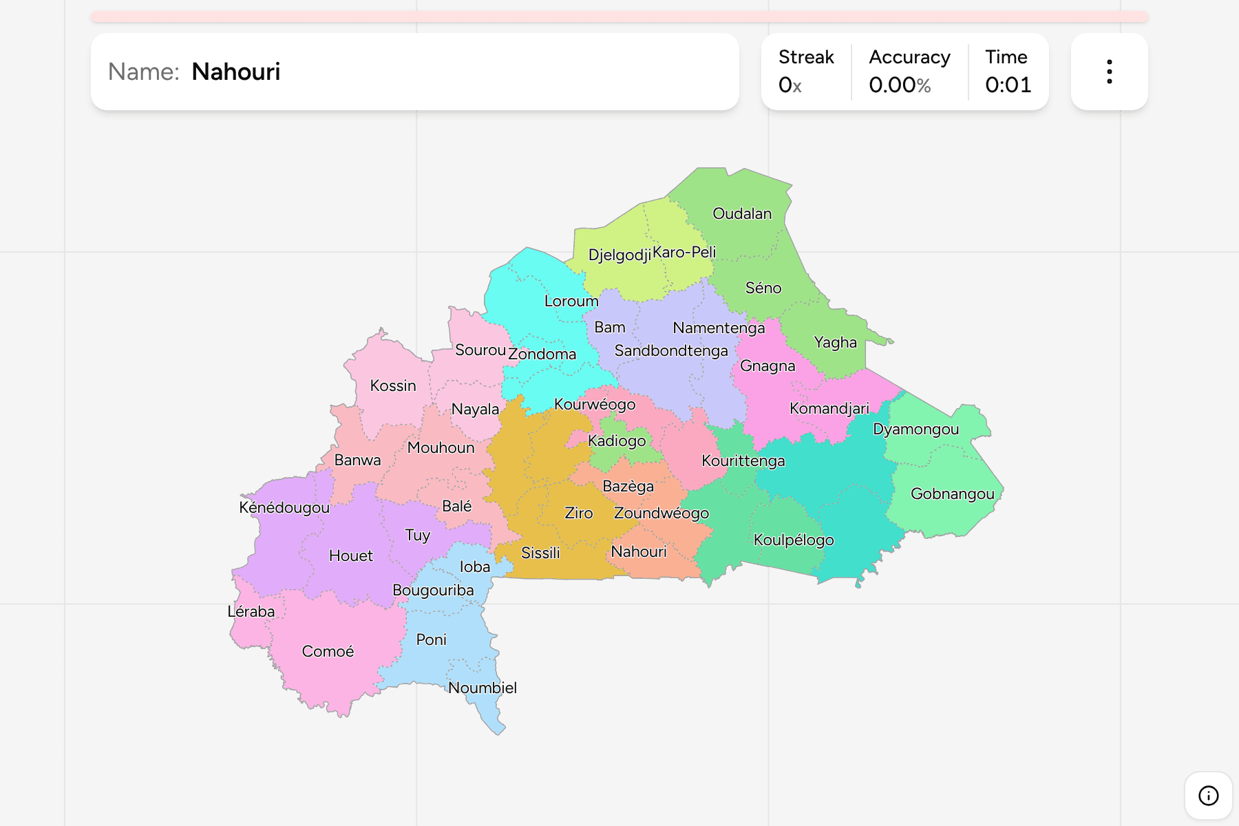
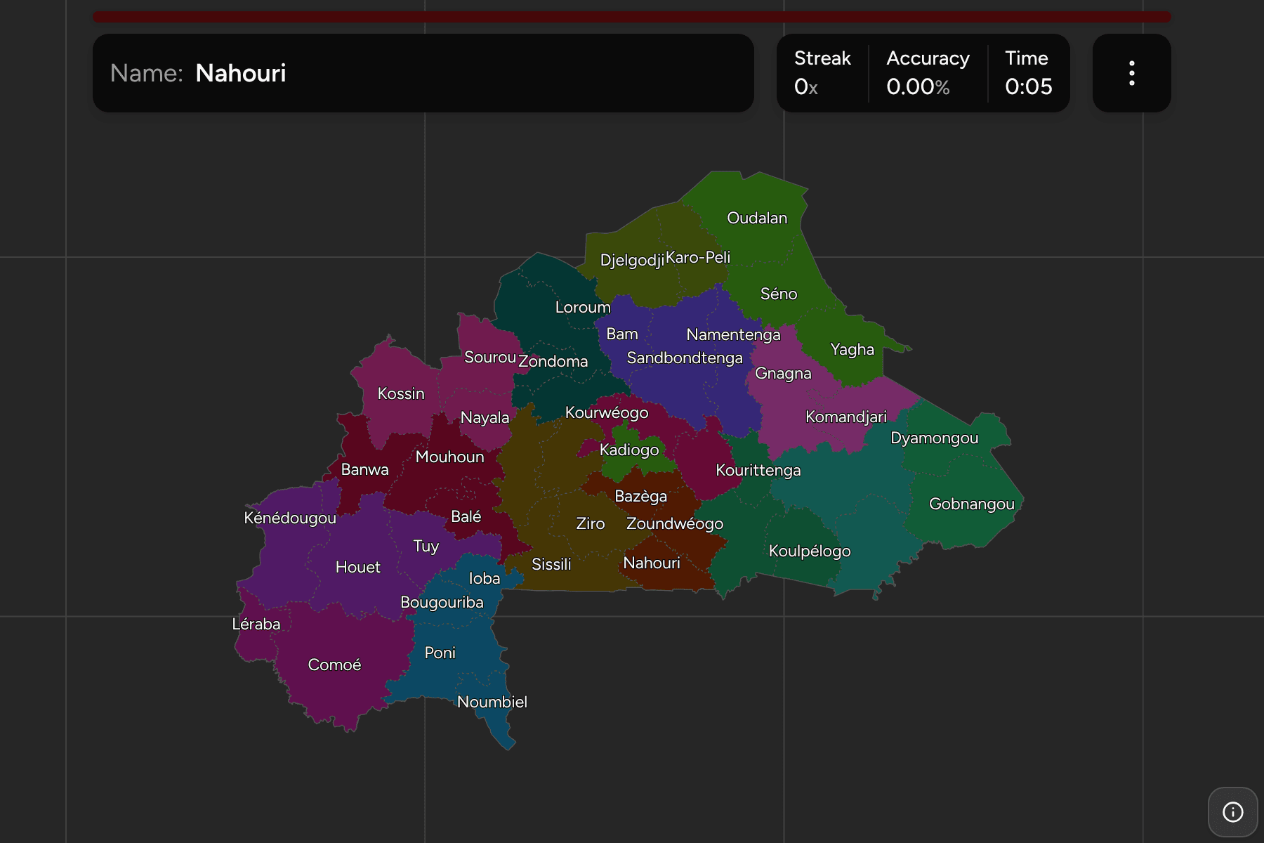
Under the 17 regions of Burkina Faso sit 47 provinces, from Kadiogo, which is
the capital and little else, to Comoé, a savanna province in the south west
larger than Northern Ireland. This is the full list, grouped by the region each
one belongs to.
- The quiz
- Name to place, on the map
- Grouped by
- Region: all 17
- In the game
- 47 provinces
What you are looking at
The provinces of Burkina Faso, the second tier of the country. Most are named
for their chief town or for a river, and most lie wholly inside one region.
The 2025 reform redrew the regions above them and changed some of the
provinces. The old Soum is now two, Djelgodji and Karo-Peli, the old Tapoa is
Dyamongou and Gobnangou, and a few were renamed: Kossi is Kossin, Oubritenga is
Bassitenga, and the map draws Sanmatenga as Sandbondtenga. The file used here
has the new list, where older sources still have the old one.
Provinces are small beside the regions, but not tiny: the smallest, Kourwéogo,
is still about 40 kilometres across, so the game gives none of them a tap area.
The groups are the regions, so the game lets you drill them one at a time. Each
region answers under the same name in
Burkina Faso Regions.
How to place one
- Pick one region and learn it. Kadiogo is a single province, and Goulmou,
Sirba, Soum, Tannounyan and Tapoa have two each.
- Find the capital's ring. Kadiogo sits in the middle with Kourwéogo,
Bassitenga and Ganzourgou round its north and east sides.
- Take the split pairs together. Djelgodji and Karo-Peli, and Dyamongou and
Gobnangou, are each a halved province, so they sit side by side.
- Treat the edges as large. Comoé in the south west, Houet in the west and
Gourma in the east are the biggest answers.
Every province, by region
- Liptako3 provinces
- Oudalan, Séno, Yagha
- Guiriko3 provinces
- Houet, Kénédougou, Tuy
- Yaadga4 provinces
- Loroum, Passoré, Yatenga, Zondoma
- Nando4 provinces
- Boulkiemdé, Sanguié, Sissili, Ziro
- Goulmou2 provinces
- Gourma, Kompienga
- Bankui3 provinces
- Balé, Banwa, Mouhoun
- Djôrô4 provinces
- Bougouriba, Ioba, Noumbiel, Poni
- Soum2 provinces
- Djelgodji, Karo-Peli
- Nakambé3 provinces
- Boulgou, Koulpélogo, Kourittenga
- Tannounyan2 provinces
- Comoé, Léraba
- Koulsé3 provinces
- Bam, Namentenga, Sandbondtenga
- Sourou3 provinces
- Kossin, Nayala, Sourou
- Sirba2 provinces
- Gnagna, Komandjari
- Nazinon3 provinces
- Bazèga, Nahouri, Zoundwéogo
- Tapoa2 provinces
- Dyamongou, Gobnangou
- Oubri3 provinces
- Bassitenga, Ganzourgou, Kourwéogo
- Kadiogo1 province
- Kadiogo
Worked examples
ComoéThe biggest of themComoé is the largest province, the whole south west corner of the country,
along the Ivorian border.
KourwéogoThe smallest of themKourwéogo is the smallest province, just north west of the capital.
SandbondtengaA province under its new nameSandbondtenga is the province older maps call Sanmatenga, in the centre north
of the country.
Frequently asked questions
How many provinces does Burkina Faso have?
47 on this map, in 17 regions.
Why does the map say Sandbondtenga?
That is how the 2025 boundary file names the province that older maps call Sanmatenga.
Are the names written with their accents?
Yes, the way they are written locally, so Balé, Séno and Zoundwéogo carry theirs.
The tier above this one is Burkina Faso Regions. For
another country at this level, see Madagascar Districts.
Sources