The Democratic Republic of the Congo is the second largest country in Africa,
and most maps of it are out of date. In 2015 the eleven provinces it had
inherited were split into twenty-six, so the Katanga, Orientale and Bandundu
that older atlases draw are now each several provinces, and a name that was
once one big region is now a small part of it.
- The quiz
- Name to place, on the map
- Grouped by
- The old provinces the 2015 split came out of
- In the game
- 26 provinces
What you are looking at
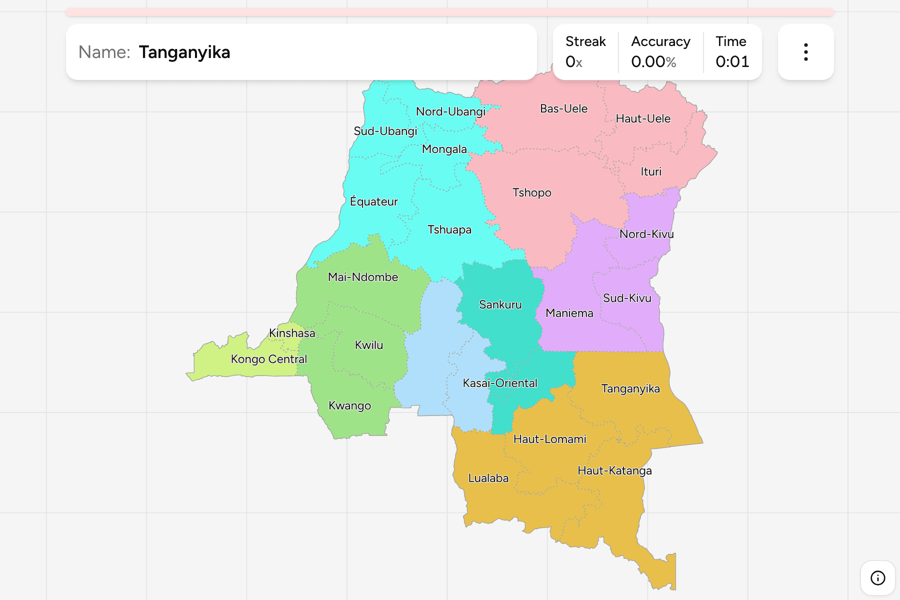
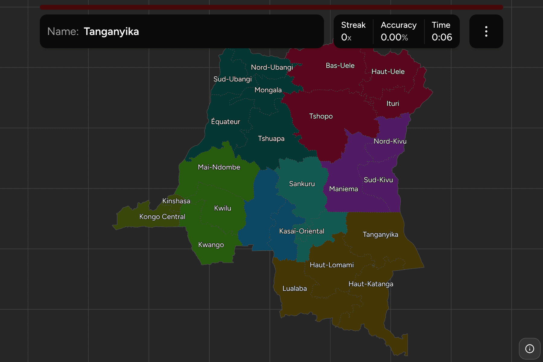
The provinces of the DR Congo, the first tier of the country. Kinshasa, the
capital, is a province in its own right and by far the smallest, a city on the
Congo river at the western end of the map. Names are in French, which is what
the country uses, with the accents the government writes them with.
The map is easier to read as a river basin than as a list. The Congo runs in a
great arc through the north and west, and the provinces of the middle, Équateur,
Mongala, Tshuapa, Mai-Ndombe and Tshopo, are the rainforest it drains. The
south is the plateau of the old Katanga, where Haut-Katanga and Lualaba hold the
copper belt. The east is the line of lakes on the border with Rwanda, Burundi
and Tanzania, with the Kivu provinces and Ituri facing the Rift Valley.
The groups are the eleven provinces the country had until 2015, which Congolese
people still use to place things, with two joins to keep the legend short: the
three eastern provinces of the old Kivu, joined to Maniema, and Kinshasa joined
to Kongo Central, the capital and its port. The provinces are the
DR Congo Territories grouped, so the borders of the two maps
match exactly.
How to place one
- Start with the two ends. Kongo Central is the thin strip to the west that
reaches the Atlantic, and Kinshasa sits at its inland tip. Haut-Katanga is
the southeastern corner, with Zambia on both sides.
- Learn the old provinces first. Katanga, Orientale, Équateur and the two
Kasaïs are the large blocks; the 2015 provinces are their pieces.
- Follow the river. Mongala, Équateur and Mai-Ndombe line the Congo and its
tributaries, and Tshopo is the province of Kisangani, where the river becomes
navigable.
- Take the east last. The Kivu provinces, Ituri and Tanganyika are narrow
and run along the border, from Uganda in the north to Zambia in the south.
Every province, by old province
- Bandundu3 provinces
- Kwango, Kwilu, Mai-Ndombe
- Kivu and Maniema3 provinces
- Maniema, Nord-Kivu, Sud-Kivu
- Équateur5 provinces
- Équateur, Mongala, Nord-Ubangi, Sud-Ubangi, Tshuapa
- Katanga4 provinces
- Haut-Katanga, Haut-Lomami, Lualaba, Tanganyika
- Kasaï-Oriental3 provinces
- Kasaï-Oriental, Lomami, Sankuru
- Orientale4 provinces
- Bas-Uele, Haut-Uele, Ituri, Tshopo
- Kasaï-Occidental2 provinces
- Kasaï, Kasaï-Central
- Kinshasa and Kongo Central2 provinces
- Kinshasa, Kongo Central
Worked examples
KinshasaThe capital, in a cornerKinshasa is the smallest province by a long way, a city of many millions on the
south bank of the Congo, facing Brazzaville across the water. It is small
enough to need a tap area on the map.
Kongo CentralThe way to the seaKongo Central is the province with the country's only stretch of Atlantic
coast, a narrow outlet in the far west. Its ports, Matadi and Boma, are where
the river's last navigable reach ends.
Haut-KatangaOne of four from KatangaHaut-Katanga is the south eastern corner, round Lubumbashi, and the biggest
of the four provinces that used to be Katanga: Lualaba, Haut-Lomami and
Tanganyika are the rest.
Frequently asked questions
How many provinces does the DR Congo have?
26, including the capital Kinshasa, which has been a province of its own for longer than the split of 2015.
Why do older maps show 11?
The constitution of 2006 set the 26 provinces, and they replaced the eleven of the old map in 2015. Katanga, Orientale, Bandundu, Équateur and the two Kasaïs were each split.
What are the groups?
The old provinces, so a player who knows the map from before 2015 can place the new ones inside it. The Kivu provinces share a group with Maniema, and Kinshasa with Kongo Central.
The tier below this one is DR Congo Territories. For another
country in the same region, see Rwanda Provinces.
Sources