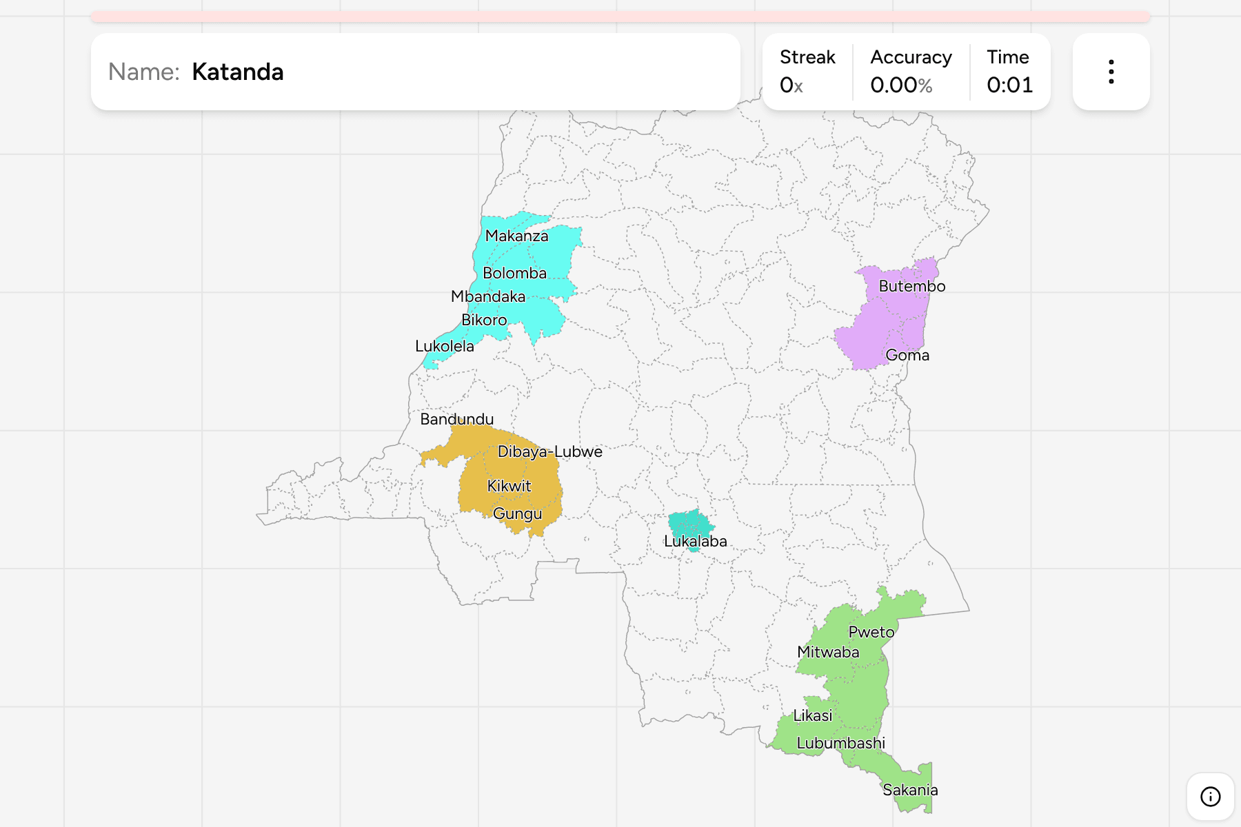
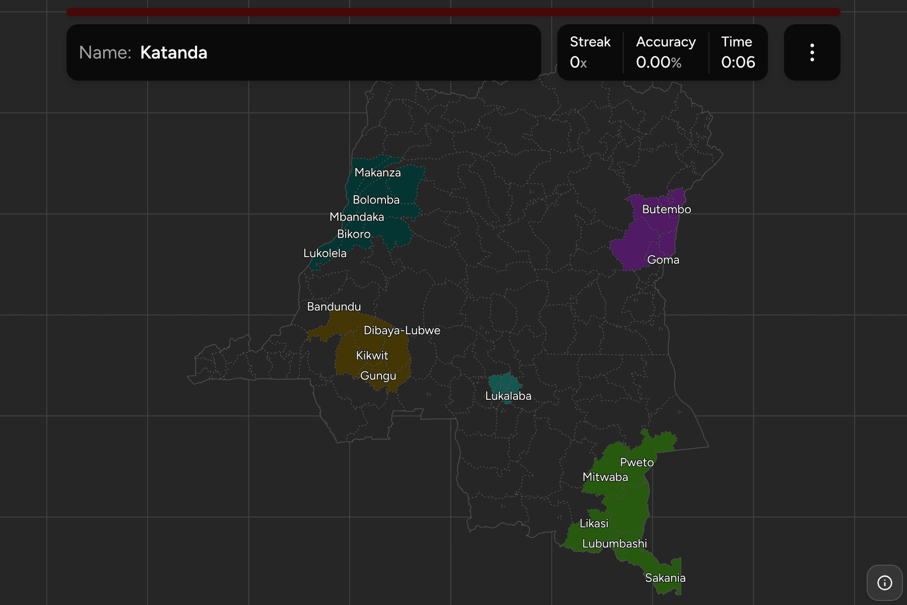
The territory is the second tier of the Democratic Republic of the Congo, the
division of a province that a Congolese address, a mining licence or a
humanitarian report is placed by. The big cities are cut out of their
territories and stand as units of their own, so the map has both kinds: Goma,
Kisangani and Lubumbashi next to rural territories bigger than some countries.
The territories and cities of the DR Congo, as the geoBoundaries file draws
them. The constitution lists 145 territories, and the file has more features
than that because the cities that sit outside a territory (Goma, Bukavu,
Butembo and the rest) and a few mining towns are features of their own. Kinshasa
is both a province and a single unit, so it is a territory here under the same
name.
The units are very uneven. In the rainforest of the north and the middle,
territories are huge and have few neighbours to tell them apart. In the east,
the Kivu and Ituri territories are small and packed along the border, and the
cities are specks: Baraka, Ariwara and Mongwalu are only a few square
kilometres, so they carry a tap area, and zooming in is the way to reach them.
The groups are the provinces, so the game lets you drill them one at a time, and
a first sitting opens on a single province, Haut-Katanga. Each province answers
under the same name in DR Congo Provinces.
- Haut-Katanga8 territories
- Kambove, Kasenga, Kipushi, Likasi, Lubumbashi, Mitwaba, Pweto, Sakania
- Nord-Kivu9 territories
- Beni, Butembo, Goma, Lubero, Masisi, Nyiragongo, Oïcha, Rutshuru, Walikale
- Équateur8 territories
- Basankusu, Bikoro, Bolomba, Bomongo, Ingende, Lukolela, Makanza, Mbandaka
- Kwilu9 territories
- Bagata, Bandundu, Bulungu, Dibaya-Lubwe, Gungu, Idiofa, Kikwit, Mangai, Masi-Manimba
- Kasaï-Oriental7 territories
- Kabeya-Kamwanga, Katanda, Lukalaba, Lupatapata, Mbuji-Mayi, Miabi, Tshilenge
- Ituri9 territories
- Ariwara, Aru, Bunia, Djugu, Ingbokolo, Irumu, Mahagi, Mambasa, Mongwalu
- Kongo Central14 territories
- Bangu, Boma, Inkisi, Kasangulu, Kimvula, Lukula, Luozi, Madimba, Matadi, Mbanza-Ngungu, Moanda, Seke-Banza, Songololo, Tshela
- Lualaba7 territories
- Dilolo, Kapanga, Kasaji, Kolwezi, Lubudi, Mutshatsha, Sandoa
- Sankuru8 territories
- Bena-Dibele, Katako-Kombe, Kole, Lodja, Lomela, Lubefu, Lusambo, Tshumbe
- Tshopo9 territories
- Bafwasende, Banalia, Basoko, Isangi, Kisangani, Opala, Ubundu, Yahuma, Yangambi
- Kasaï6 territories
- Dekese, Ilebo, Kamonia, Luebo, Mweka, Tshikapa
- Maniema10 territories
- Kabambare, Kailo, Kalima, Kasongo, Kibombo, Kindu, Lubutu, Namoya, Pangi, Punia
- Mai-Ndombe9 territories
- Bolobo, Inongo, Kiri, Kutu, Kwamouth, Mushie, Nioki, Oshwe, Yumbi
- Haut-Uele8 territories
- Aba, Dungu, Faradje, Isiro, Niangara, Rungu, Wamba, Watsa
- Tanganyika7 territories
- Kabalo, Kalemie, Kaoze, Kongolo, Manono, Moba, Nyunzu
- Sud-Ubangi5 territories
- Budjala, Gemena, Kungu, Libenge, Zongo
- Kwango5 territories
- Feshi, Kahemba, Kasongo-Lunda, Kenge, Popokabaka
- Sud-Kivu11 territories
- Baraka, Bukavu, Fizi, Idjwi, Kabare, Kalehe, Kamituga, Mwenga, Shabunda, Uvira, Walungu
- Kasaï-Central7 territories
- Demba, Dibaya, Dimbelenge, Kananga, Kazumba, Luiza, Tshimbulu
- Bas-Uele7 territories
- Aketi, Ango, Bambesa, Bondo, Buta, Dingila, Poko
- Lomami6 territories
- Kabinda, Kamiji, Lubao, Luilu, Mwene-Ditu, Ngandajika
- Nord-Ubangi5 territories
- Bosobolo, Businga, Gbadolite, Mobayi-Mbongo, Yakoma
- Haut-Lomami5 territories
- Bukama, Kabongo, Kamina, Kaniama, Malemba-Nkulu
- Mongala3 territories
- Bongandanga, Bumba, Lisala
- Tshuapa6 territories
- Befale, Boende, Bokungu, Djolu, Ikela, Monkoto
- Kinshasa1 territory
- Kinshasa