Gabon straddles the equator on the Atlantic coast of Central Africa, and nearly
all of it is rainforest. The province is the unit that tells you which part of
that forest a round is in, and there are only nine of them, five named after the
Ogooué river or its tributary the Ivindo.
- The quiz
- Name to place, on the map
- Grouped by
- The north, the centre and the south, an unofficial cut
- In the game
- 9 provinces
What you are looking at
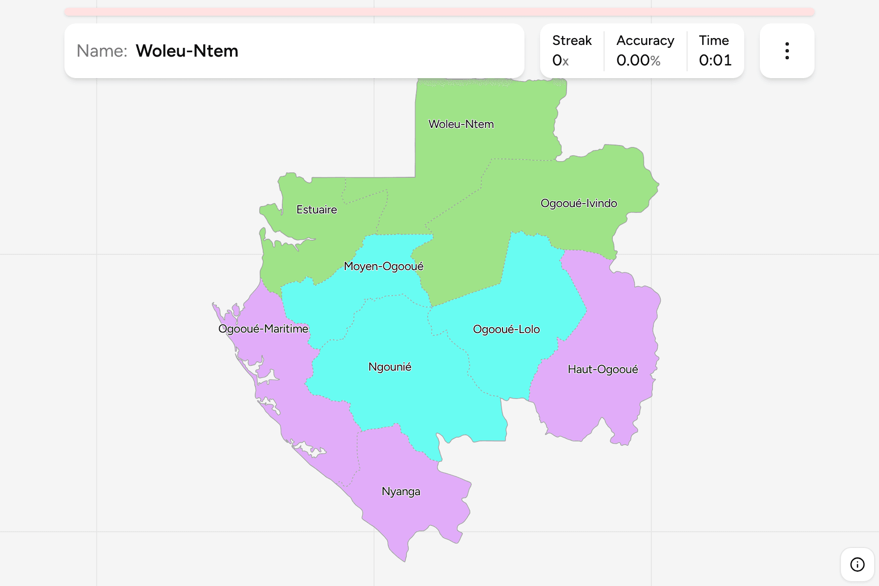
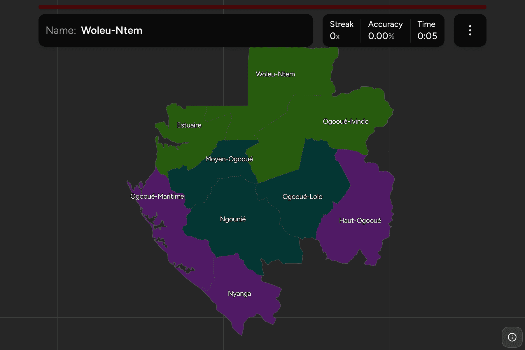
The provinces of Gabon, the first tier of the country. They have been the same
nine since independence, and each is split into departments, which are the
Gabon Departments quiz. The map is easy to read once the
river is in your head: the Ogooué rises in the south east, runs north west across
the middle of the country and reaches the sea near Port-Gentil, and four
provinces are named for the stretch of it they hold, Haut (upper), Moyen
(middle), Lolo (after its tributary) and Maritime. Ogooué-Ivindo is the fifth,
named for the Ivindo, which joins it from the north east.
The provinces are very uneven. Moyen-Ogooué is the smallest by a long way, a
pocket round the town of Lambaréné with two departments, while Ogooué-Ivindo and
Woleu-Ntem fill the whole north. Estuaire is small too, but it holds the capital
Libreville and about half of the people of the country, which is why it matters
out of proportion to its area.
The groups are not an official classification. Gabon has no tier between the
province and the country, so the quiz cuts the nine into the north, the centre
and the south to let you drill the map a piece at a time.
How to place one
- Start on the coast. Estuaire is the one at the top of the coast around the
Gabon Estuary and Libreville, Ogooué-Maritime runs down the rest of the
coastline below it, and Nyanga is the southern end, against Congo.
- Read the north as one block. Woleu-Ntem is the square corner at the top,
against Equatorial Guinea and Cameroon, with Ogooué-Ivindo to its east.
- Find the small one in the middle. Moyen-Ogooué sits between Estuaire and
Ngounié, which is the big province in the south centre.
- Finish in the east. Ogooué-Lolo and Haut-Ogooué share the border with the
Republic of the Congo, with Haut-Ogooué the one in the south east corner.
Every province, by group
- North3 provinces
- Estuaire, Ogooué-Ivindo, Woleu-Ntem
- South3 provinces
- Haut-Ogooué, Nyanga, Ogooué-Maritime
- Centre3 provinces
- Moyen-Ogooué, Ngounié, Ogooué-Lolo
Worked examples
EstuaireThe one with the capitalEstuaire holds Libreville, on the north side of the estuary of the Komo, and
the quiz's smallest departments sit around it. It is not a large province, but
it is the one most travellers arrive in, and the roads fan out of it towards
the rest of the country.
Moyen-OgoouéThe small one in the middleMoyen-Ogooué is the pocket the Ogooué crosses on its way to the sea, with
Lambaréné on an island in the river. It is the easiest to lose on the map,
because it is surrounded on every side and has no coast.
Ogooué-MaritimeThe coast with the oilOgooué-Maritime is the long coastal province in the south west, and its capital
Port-Gentil, on a peninsula at the mouth of the river, is the centre of the oil
industry. The province is mostly lagoons and forest, with no road connecting
Port-Gentil to the capital.
Frequently asked questions
How many provinces does Gabon have?
Nine. Each is divided into departments, 49 in all, and the quiz for those groups them by province.
Is Libreville a province?
No. Libreville is the capital of Estuaire, and is also a department of its own, so it appears on the departments map rather than here.
Why are the groups not official?
Gabon has nothing between the provinces and the country, so the north, the centre and the south are a way to drill the map, not a classification.
The tier below this one is Gabon Departments. For another
country in the region, see Cameroon Regions.
Sources