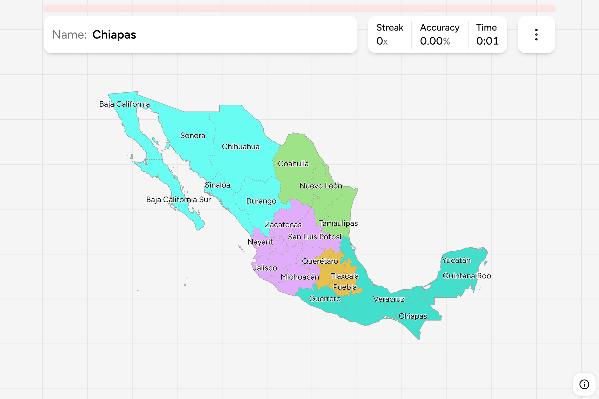
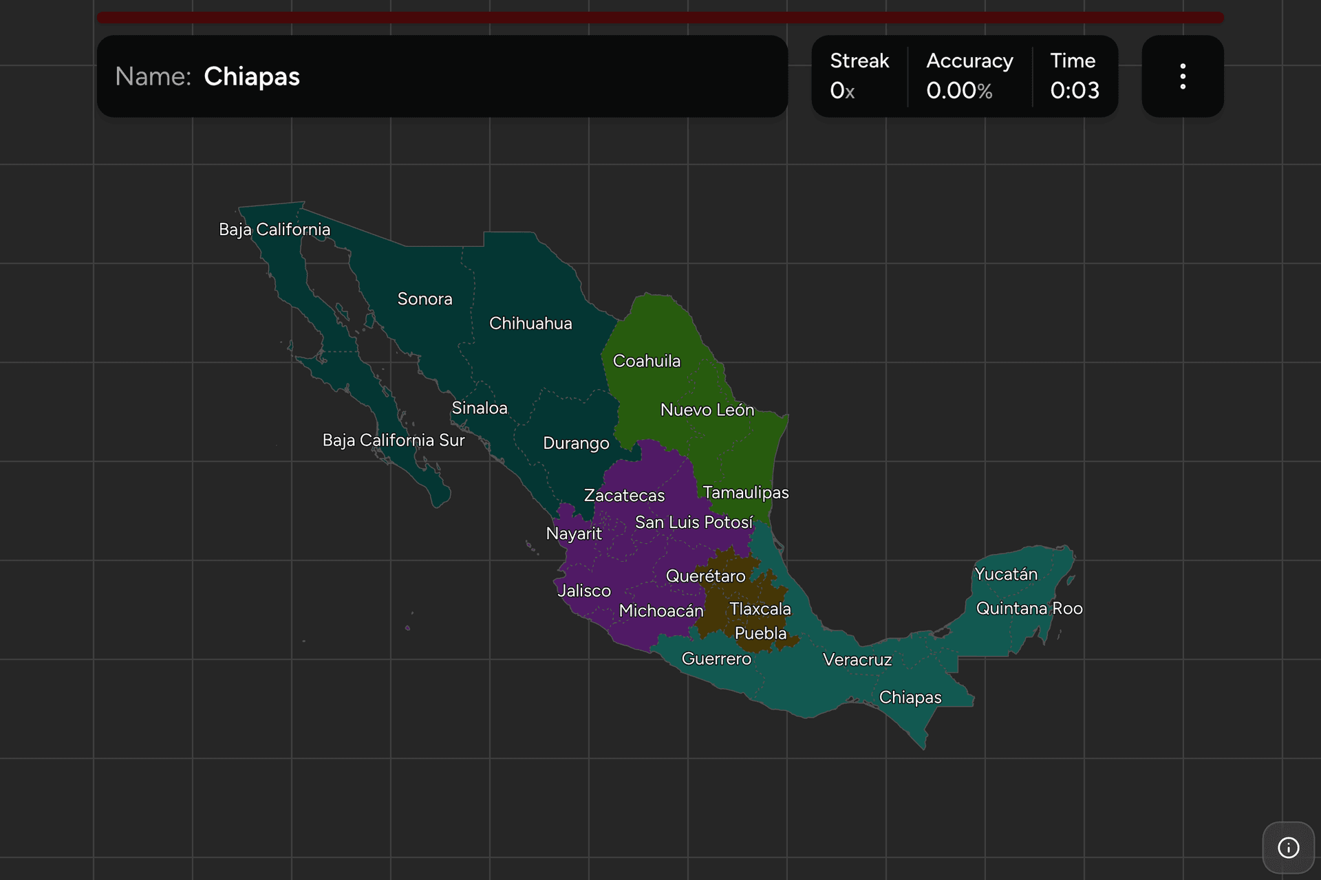
Mexico is a federation of 31 states and one federal entity, Mexico City, and
it runs about three thousand kilometres from the Rio Grande to the Guatemalan
border. The map is easier than the count suggests: the north is a handful of
big blocks, the middle is a crowd of small states packed around the capital,
and the south is a run of coastal states from the Pacific to the Yucatan. This
page is the whole set, and the game asks you to put each name where it belongs.
- The quiz
- Name to place, on the map
- Names
- Spanish, as they are written
- In the game
- 32 federal entities
What you are looking at
An estado is a member of the Mexican federation. Each one elects its own
governor and legislature and has its own constitution, and 31 of them cover the
country between them.
The thirty-second is Mexico City. It was the Distrito Federal until 2016, a
district run by the national government, and a reform made it a federal entity
with its own constitution and legislature, which puts it at the same level as
the states for this quiz. It is also the hardest target on the map: a small
patch of the central highlands, wrapped by the State of Mexico on three sides
and by Morelos to the south.
The State of Mexico is the other trap. It is a state of its own, around the
capital, and it is not the country. Its name is written Estado de México here
for that reason.
Names to watch, because they sit close together: Baja California and Baja
California Sur split the peninsula at the 28th parallel, Coahuila and Chihuahua
are both big northern states with a similar ending, and Nuevo León and León are
different things, since León is a city in Guanajuato.
How to place one
- Start with the peninsula. Baja California is the northern half of the long
western finger and Baja California Sur the southern half. Sonora is the big
state across the Gulf of California, and Sinaloa is the long coast below it.
- Then the northern block. Chihuahua is the largest state, the whole
middle of the northern border. Coahuila is east of it and Nuevo León and
Tamaulipas run east to the Gulf, with Tamaulipas the one on the coast.
- Pack the middle. Durango and Zacatecas are the square ones in the
plateau. San Luis Potosí is the one east of Zacatecas. Aguascalientes and
Guanajuato are the small ones below, with Querétaro and Hidalgo to the east.
- Find the capital. Mexico City sits inside the State of Mexico, with
Morelos below it and Puebla and Tlaxcala to the east. This is the crowded
part and the source of most mistakes.
- Run down the coasts. On the Pacific it is Nayarit, Jalisco, Colima,
Michoacán, Guerrero, Oaxaca and Chiapas. On the Gulf it is Veracruz, the
long thin one, then Tabasco, Campeche, and Yucatán and Quintana Roo on the
peninsula.
Every state, by region
- Northeast3 federal entities
- Coahuila, Nuevo León, Tamaulipas
- Center-West8 federal entities
- Jalisco, Colima, Michoacán, Nayarit, Aguascalientes, Zacatecas, San Luis Potosí, Guanajuato
- Northwest6 federal entities
- Baja California, Baja California Sur, Sonora, Sinaloa, Chihuahua, Durango
- Center7 federal entities
- Ciudad de México, Estado de México, Morelos, Puebla, Tlaxcala, Hidalgo, Querétaro
- South and Southeast8 federal entities
- Guerrero, Oaxaca, Chiapas, Veracruz, Tabasco, Campeche, Yucatán, Quintana Roo
Mexico has no single official grouping of its states, so these are the five
regions most school geography and weather forecasts use. They are a way to cut
the map into drills rather than a level of government, and each group can be
played on its own from the start dialog. The Northeast is a three question
warm-up and the South and Southeast is a real one.
Worked examples
Ciudad de MéxicoThe one that is not a stateThe smallest target here by a wide margin. It held the national government as
the Distrito Federal until 2016, and has the standing of a state in
everything this game asks. The capital is a tight fit inside the State of
Mexico, and the quickest way to find it is to look for Morelos below it.
ChihuahuaThe big oneThe largest state in the country, bigger than the United Kingdom, taking up
most of the northern border and the Sierra Madre behind it. People place it
too far west, because Sonora is the one against the Gulf of California.
Quintana RooThe Caribbean oneThe eastern edge of the Yucatán Peninsula, and the only state with a Caribbean
coast apart from the sliver of Yucatán. It became a state in 1974, and Cancún
and Cozumel are both inside it.
Frequently asked questions
How many states does Mexico have?
31, plus Mexico City, which became a federal entity of its own in 2016 after being the Distrito Federal. Mexicans count 32 federal entities, and this game asks about all 32.
What is the largest state in Mexico?
Chihuahua, in the north, which is bigger than the United Kingdom. Sonora is second, and the smallest entity is Mexico City, with Tlaxcala the smallest state.
Is the State of Mexico the same as Mexico City?
No. The State of Mexico is a separate state that wraps around the capital on three sides, and its capital is Toluca. Mexico City is its own federal entity, and the two are the commonest pair to mix up.
What is the newest state in Mexico?
Baja California Sur and Quintana Roo, which both became states in 1974 after being federal territories. Mexico City is the newest entity, with its own constitution since 2016.
How can you tell which Mexican state a photo is in?
Landscape first: desert and cactus mean the north, pine and volcanoes the central plateau, jungle the south. After that, the area code on a shopfront is the best tell, and the plate is the other one, since every state issues its own.
Mexico has a second map on the site, Mexico Dialing Codes,
which asks the same country at the area code level. The neighbours are Brazil
States and Canada Provinces, and maps in
exactly this shape elsewhere: US States, Nigeria
States and India States.
Sources