Mozambique is a long, thin country down the east coast of Africa, nearly two
thousand kilometres from the Rovuma river on the Tanzanian border to the South
African one, and a round there is mostly decided by how far along that coast you
are. The province is the first tier of the picture, and there are eleven of
them.
- The quiz
- Name to place, on the map
- Grouped by
- The north, the centre and the south
- In the game
- 11 provinces
What you are looking at
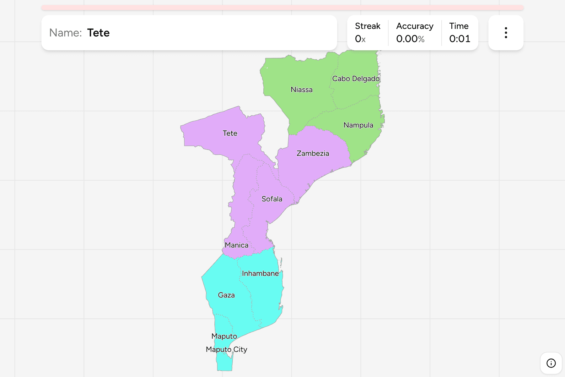
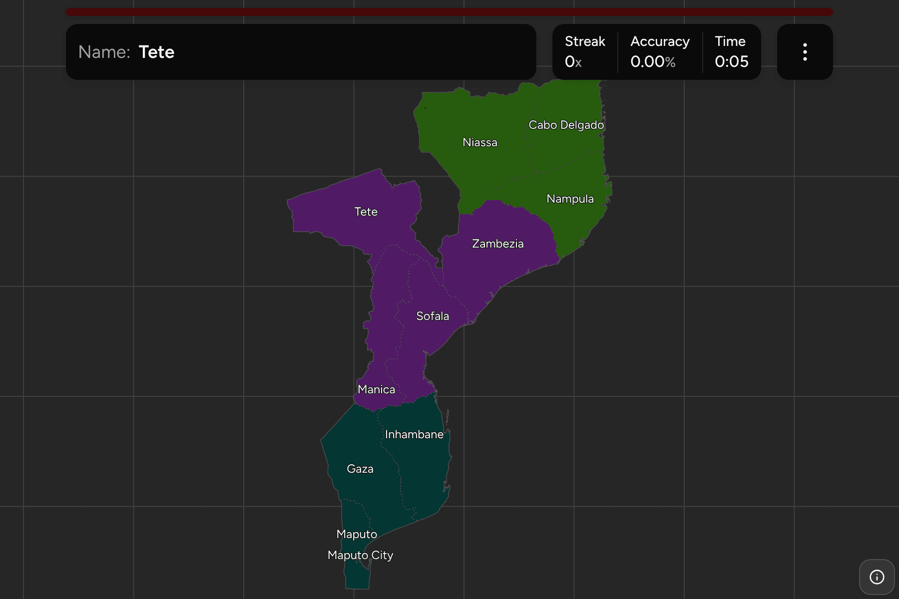
Ten provinces and the city of Maputo, which has the rank of a province of its
own. Niassa, Cabo Delgado and Nampula make up the north, Zambezia, Tete, Manica
and Sofala the centre, and Inhambane, Gaza and Maputo the south, with Maputo
City as a speck inside the last. Those three groups are how Mozambicans
themselves divide the country.
Tete is the odd shape: it is a wedge that reaches inland between Zambia,
Zimbabwe and Malawi. Niassa, in the far north west, is the largest and the
emptiest, and borders the lake that Malawians call Malawi. Zambezia is named for
the river that crosses it, and Gaza and Inhambane are the two long southern
provinces, with Gaza the one that reaches inland to the Limpopo.
The provinces are the Mozambique Districts grouped, so
the borders of the two maps match exactly.
How to place one
- Start with Maputo City and Maputo. They are the tiny pair at the bottom
tip of the country, next to Eswatini and South Africa.
- Walk up the south. Gaza and Inhambane are the two provinces that follow
the coast, with Gaza behind and Inhambane in front.
- Find the middle by the river. Sofala and Zambezia meet the coast either
side of the Zambezi delta, and Tete and Manica sit behind them.
- Finish in the north. Nampula is the coastal one, Cabo Delgado is the
point at the top, and Niassa is everything inland of both.
Every province, by group
- North3 provinces
- Cabo Delgado, Nampula, Niassa
- Centre4 provinces
- Manica, Sofala, Tete, Zambezia
- South4 provinces
- Gaza, Inhambane, Maputo, Maputo City
Worked examples
TeteThe wedge in the interiorTete is a long wedge of the interior between Zambia, Zimbabwe and Malawi,
crossed by the Zambezi and home to the Cahora Bassa dam. It has no coast, and
neither do Manica and Niassa, which are the other inland provinces.
Maputo CityThe one that is a cityMaputo City is the capital and a province of its own, a small area on the bay
at the southern tip of the country, inside Maputo province. On a phone it needs a careful
tap.
Frequently asked questions
How many provinces does Mozambique have?
Eleven: ten provinces, and Maputo City, which is a province in rank.
What are the groups?
The north, the centre and the south, which is how Mozambique itself splits the country for the purposes of planning and statistics.
What is below the province?
The districts, which number well over a hundred. They are their own quiz.
The tier below this one is Mozambique Districts. For
another country at this level, see Rwanda Provinces.
Sources