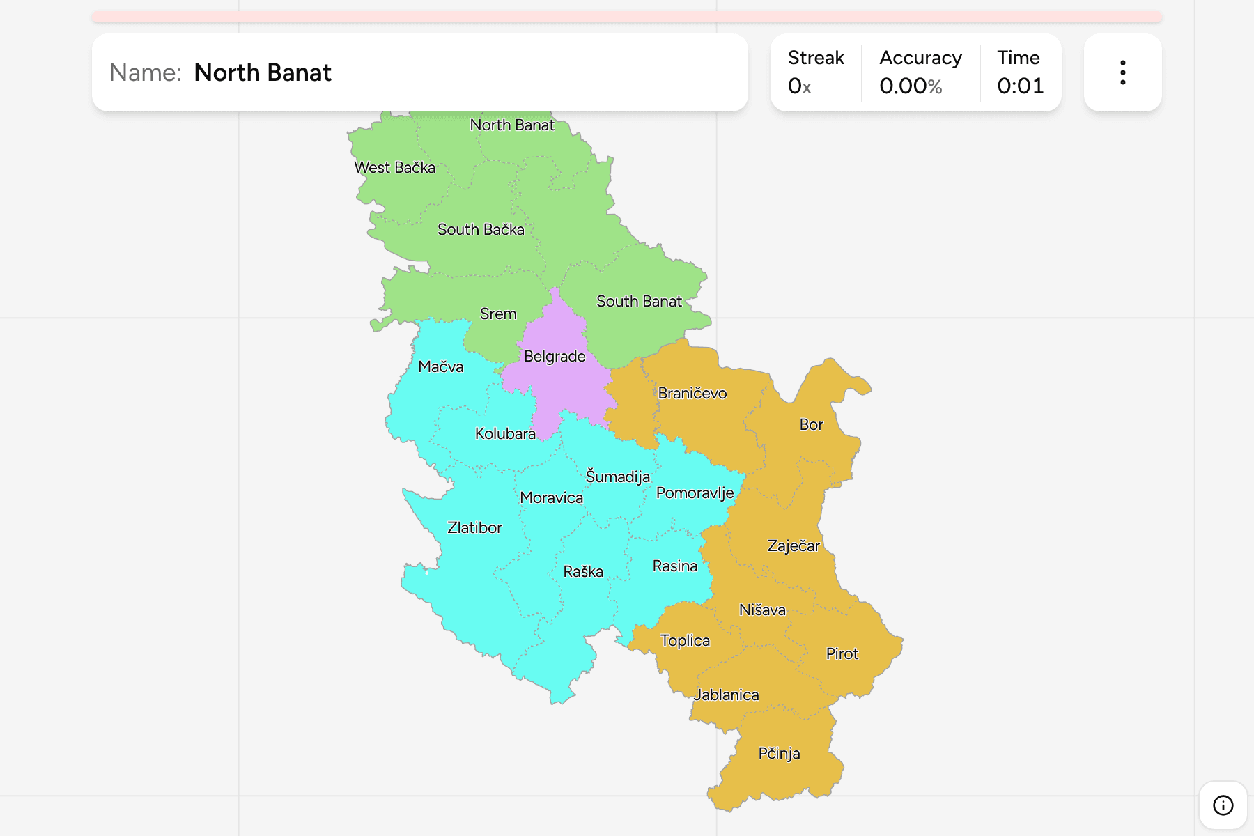
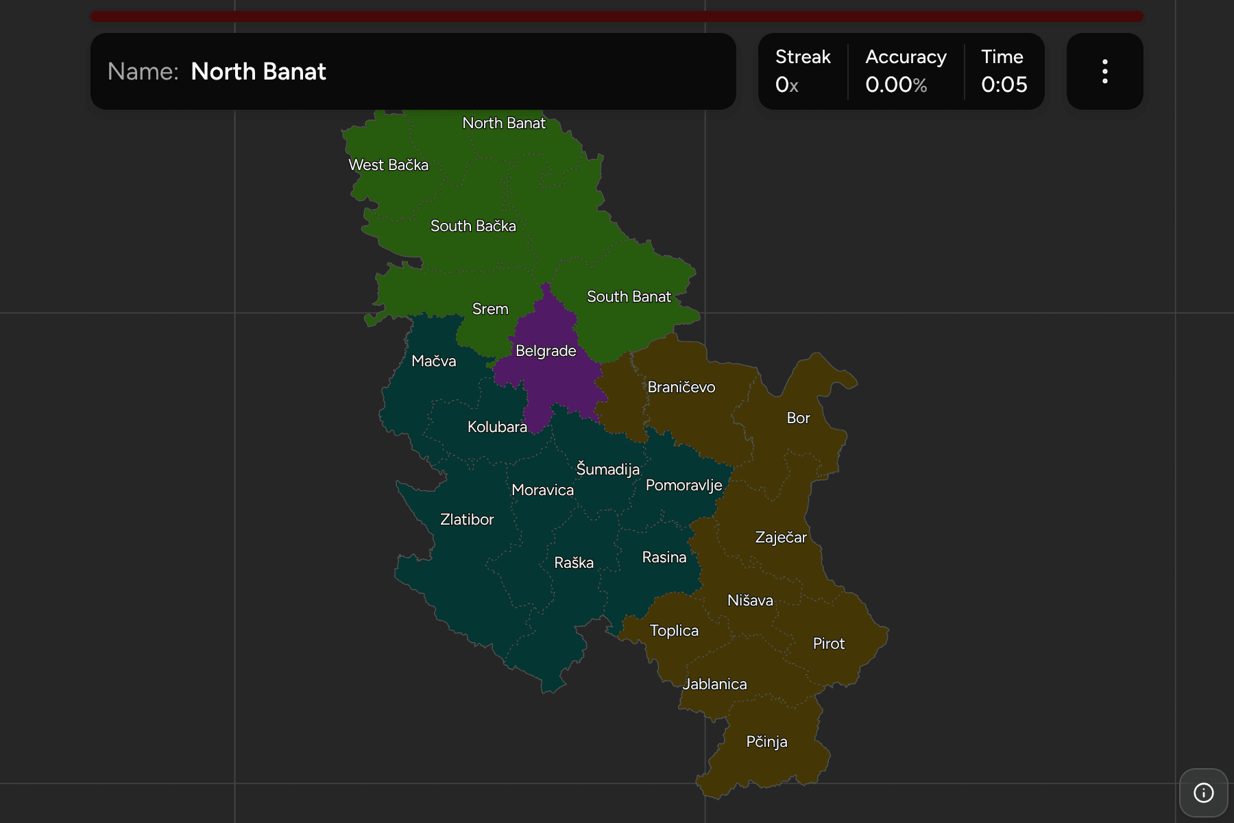
A Serbian district is the unit a town sits in when someone asks which part of
the country it is in, and it is a better answer than "central" or "the south".
The districts are how the state organises its regional offices, they follow
rivers and mountain ranges more than ethnic or historical lines, and the seven
in Vojvodina are the only ones with names that say where they are. This page is
the full set, the statistical region each belongs to, and what tells them apart.
- The quiz
- Name to place, on the map
- Where it helps
- Town names, road signs, rivers, GeoGuessr rounds in the Balkans
- Grouped by
- The four statistical regions of Serbia
- In the game
- 25 districts
What you are looking at
Serbia is divided into districts (upravni okruzi), and these are not
municipalities or provinces. A district is a regional branch of the national
government with a seat in its largest town, and the municipalities and
cities sit inside them. Each one is usually named for a river or a region
(Mačva, Šumadija, Pčinja) and not for its seat, which is the first thing to
learn: the town and its district often have different names.
Belgrade is a district of its own, a city with the status of one. It is
the only one of the 25 that is a single city rather than a ring of
municipalities around a seat.
Kosovo is not on this map. Serbian law counts five more districts there,
and the rest of the catalogue draws Kosovo as the country most of the world
recognises, so the game is the 24 districts and Belgrade that Serbia
administers. The Preševo valley in the south, with Bujanovac and Preševo, is
inside Pčinja and is on the map.
Vojvodina has seven districts, Belgrade is one, and the other seventeen
are south of the Sava and the Danube. In the
north the districts are flat and named for the old regions of Bačka and Banat
and the compass (North Bačka, South Banat). South of the Sava and the Danube
they are hillier, narrower and named for rivers. Any of the four statistical
regions can be switched on and off in the start dialog, which is the quickest
way to learn the map: take Vojvodina, which is seven fields in a row, then add
the next.
Every name can be switched to Serbian Cyrillic in the start dialog. Road signs
in Serbia carry both alphabets, and the Cyrillic is the form on the left or on
top.
How to place one
- Place the region first. Vojvodina is the flat north of the country above
the Danube and the Sava, Belgrade sits on the confluence, and the rest is
split between the west and centre (Šumadija and Western Serbia) and the
south and east (Southern and Eastern Serbia).
- Then use the river. The Danube separates Bačka from Srem, the Tisa
separates Bačka from Banat, and the Morava system runs north through the
centre of the country.
- Then use the seat. Novi Sad, Subotica, Niš and Kragujevac are the towns
people know, and each is the seat of a different district. Placing the town
is most of the answer, as long as you remember that the town and the district
do not always share a name.
- Then check the sign. Direction signs name the next big town, and that
town is the seat of the district you are driving through or about to enter.
Seats that are not where they sound. Novi Sad is in South Bačka, not North
Bačka, and Subotica is the seat of North Bačka. Kraljevo is the seat of Raška,
which is named for the historic region around Novi Pazar, and Čačak is the seat
of Moravica. Smederevo is the seat of Podunavlje, which is the smallest district on the
map, and Požarevac sits in Braničevo just east of it.
Districts named after a river. Kolubara, Mačva, Moravica, Rasina, Nišava,
Toplica and Pčinja are all rivers, and Zlatibor, Šumadija and Pomoravlje are
regions. The river names are a clue to where the district is, if you know where
the river is.
Every district, by region
- Vojvodina7 districts
- North Bačka (Севернобачки), Central Banat (Средњобанатски), North Banat (Севернобанатски), South Banat (Јужнобанатски), West Bačka (Западнобачки), South Bačka (Јужнобачки), Srem (Срем)
- Belgrade1 district
- Belgrade (Београд)
- Šumadija and Western Serbia8 districts
- Mačva (Мачва), Kolubara (Колубара), Šumadija (Шумадија), Pomoravlje (Поморавље), Zlatibor (Златибор), Moravica (Моравица), Raška (Рашка), Rasina (Расина)
- Southern and Eastern Serbia9 districts
- Podunavlje (Подунавље), Braničevo (Браничево), Bor (Бор), Zaječar (Зајечар), Nišava (Нишава), Toplica (Топлица), Pirot (Пирот), Jablanica (Јабланица), Pčinja (Пчиња)
Worked examples
South BačkaThe capital of Vojvodina is not in the northSouth Bačka: the district of Novi Sad, on the Danube, in the south of the
Bačka plain. It is the largest city outside Belgrade and sits opposite the
Fruška Gora hills of Srem, which is the district across the river. Subotica is
further north, in North Bačka.
BelgradeA city that is a whole districtBelgrade: the capital and the district around it, where the Sava meets the
Danube. It touches Vojvodina across both rivers, which makes it the one
district that borders all three statistical regions.
PčinjaThe southern tip, and the valley beyond VranjePčinja: the southernmost district, whose seat Vranje is the last big town
before the border with North Macedonia. The Preševo valley in its southwest
corner is a pocket of the country that reaches towards Kosovo, and it is the
part of the map that most often surprises players.
Frequently asked questions
How many districts does Serbia have?
Serbian law counts 29 districts and the City of Belgrade, which is 30 units. Five of them are in Kosovo, so a map that draws Kosovo as a separate country shows the 24 districts and Belgrade that Serbia administers, and that is the map in this quiz.
What is a district in Serbia?
A district (upravni okrug) is a regional office of the national government rather than a level with its own elected body. It groups several municipalities and cities around a seat, and it is the tier most often used for statistics and for locating a town in a sentence.
How is Serbia divided into regions?
For statistics Serbia is grouped into four regions: Vojvodina, Belgrade, Šumadija and Western Serbia, and Southern and Eastern Serbia. Vojvodina is also an autonomous province with its own assembly, and the quiz uses the four statistical regions as its groups.
Is Kosovo part of this quiz?
No. The catalogue draws Kosovo as its own country everywhere else, so its five districts under Serbian law are left off this map to match. The game takes no position on the dispute, and a map that follows Serbian law would show them in the southwest.
Which Serbian districts are easiest to confuse?
The three Banat districts in the northeast of Vojvodina, since they are neighbours with similar names, and the neighbouring districts of the centre such as Pomoravlje, Rasina and Šumadija. Learn the region first and the neighbours second.
Neighbouring and nearby administrative maps include Hungary
Counties, Romania Counties and
Bulgaria Provinces.
Sources