The district is the second tier of Zimbabwe, between the ten provinces and the
wards, and the unit most local news and road signs are written in. The quiz
counts the 59 that the country counts, with Harare and Bulawayo each standing
as the one district of their city province.
- The quiz
- Name to place, on the map
- Grouped by
- Province: the ten of the country
- In the game
- 59 districts
What you are looking at
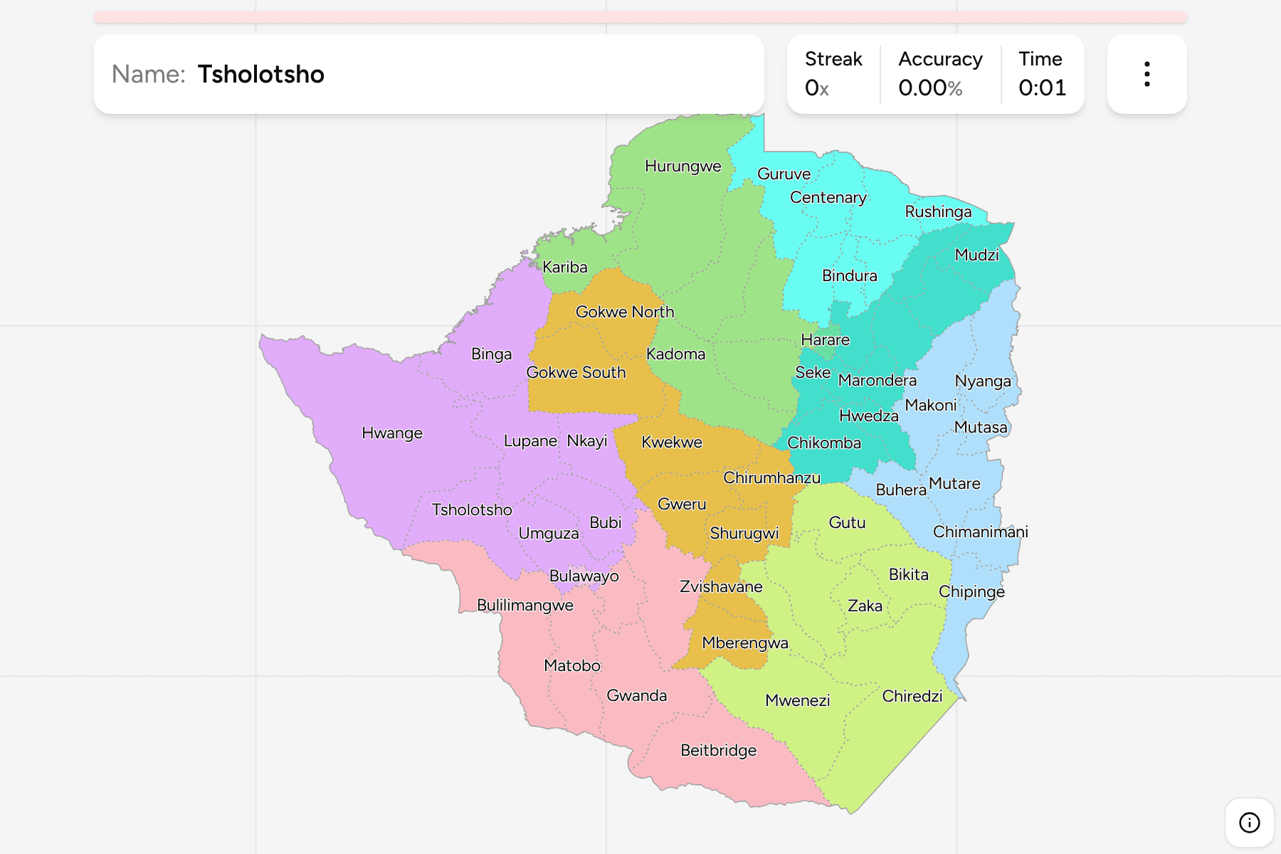
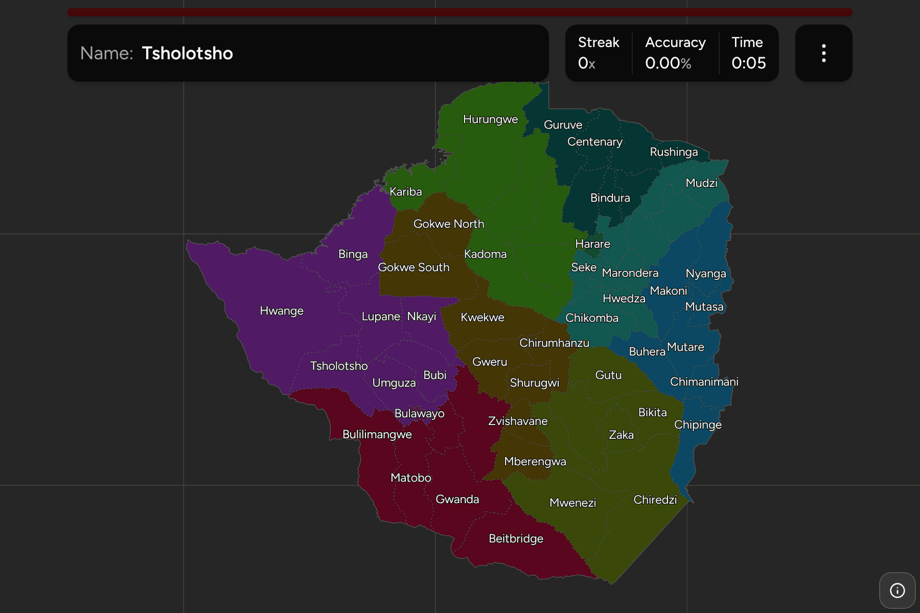
The districts of Zimbabwe. Each rural province has between six and nine, and
Harare and Bulawayo have one each. Several are named for their main town, so
Mutare, Masvingo, Gweru and Kwekwe are both a town and the district round it.
The sizes are very uneven. Hwange, in the far west, is the largest district by
a long way and holds the national park of the same name and Victoria Falls.
Round Harare and in Manicaland the districts are small and close together, and
the two cities are only a few kilometres across.
Lake Kariba is not a district in the boundary file and is left as a gap on the
Zambia border. The district of Kariba is the town and the land on the shore.
The groups are the provinces, so the game lets you drill them one at a time.
Each province answers under the same name in
Zimbabwe Provinces.
How to place one
- Pick one province and learn it. Matabeleland South and Mashonaland West
have six each and are the quickest to finish; Mashonaland East has nine.
- Start with the towns. Harare, Bulawayo, Mutare, Gweru, Masvingo and
Kwekwe are anchors for the districts that surround them.
- Follow the border. Beitbridge on the Limpopo, Chipinge and Chimanimani on
the Mozambique side, and Binga and Kariba on the Zambezi each place
themselves by the river or range they sit on.
- Leave the middle for last. The Midlands and Masvingo hold many districts
of similar size and few landmarks.
Every district, by province
- Mashonaland West6 districts
- Chegutu, Hurungwe, Kadoma, Kariba, Makonde, Zvimba
- Matabeleland North7 districts
- Binga, Bubi, Hwange, Lupane, Nkayi, Tsholotsho, Umguza
- Mashonaland Central7 districts
- Bindura, Centenary, Guruve, Mazowe, Mount Darwin, Rushinga, Shamva
- Midlands8 districts
- Chirumhanzu, Gokwe North, Gokwe South, Gweru, Kwekwe, Mberengwa, Shurugwi, Zvishavane
- Mashonaland East9 districts
- Chikomba, Goromonzi, Hwedza, Marondera, Mudzi, Murehwa, Mutoko, Seke, Uzumba-Maramba-Pfungwe
- Matabeleland South6 districts
- Beitbridge, Bulilimangwe, Gwanda, Insiza, Matobo, Umzingwane
- Manicaland7 districts
- Buhera, Chimanimani, Chipinge, Makoni, Mutare, Mutasa, Nyanga
- Masvingo7 districts
- Bikita, Chiredzi, Chivi, Gutu, Masvingo, Mwenezi, Zaka
- Harare1 district
- Harare
- Bulawayo1 district
- Bulawayo
Worked examples
HwangeThe biggestHwange is the largest district, in the north west of Matabeleland North, and
includes Victoria Falls and Hwange National Park.
BeitbridgeThe one on the LimpopoBeitbridge is the southern tip of the country, on the Limpopo, where the main
road crosses to South Africa.
HarareThe capitalHarare is a district and a province at once. It is small enough on the map to
need a tap area, and it sits in the middle of the Mashonaland East districts.
Frequently asked questions
How many districts does Zimbabwe have?
This quiz draws 59, spread over the ten provinces, with Harare and Bulawayo counted as one each.
Why is there a gap on the Zambia border?
Lake Kariba is not a district. The boundary file lists it as under national administration, so the quiz leaves it out and the map shows water.
Which province is each district in?
The quiz groups them by province, so you can drill one province at a time. Each province is its own quiz as well.
The tier above this one is Zimbabwe Provinces. For
another country at this level, see Cambodia Districts.
Sources