Zimbabwe map quizzes and GeoGuessr trainers
Zimbabwe is a plateau between two rivers, the Zambezi along the north and the Limpopo along the south, with the Eastern Highlands rising on the Mozambique border. Harare and Bulawayo are provinces of their own, and the rest of the map is read as Mashonaland in the north east and Matabeleland in the south west, with the Midlands, Masvingo and Manicaland between and beyond them. These two quizzes cut the same map two ways: the 10 provinces to learn first, and the 59 districts beneath them for when the provinces stop being a challenge. The provinces are grouped into three parts of the country and the districts by province, so what you learn on one carries to the other.
2 games, free and without an account, playable in the browser.
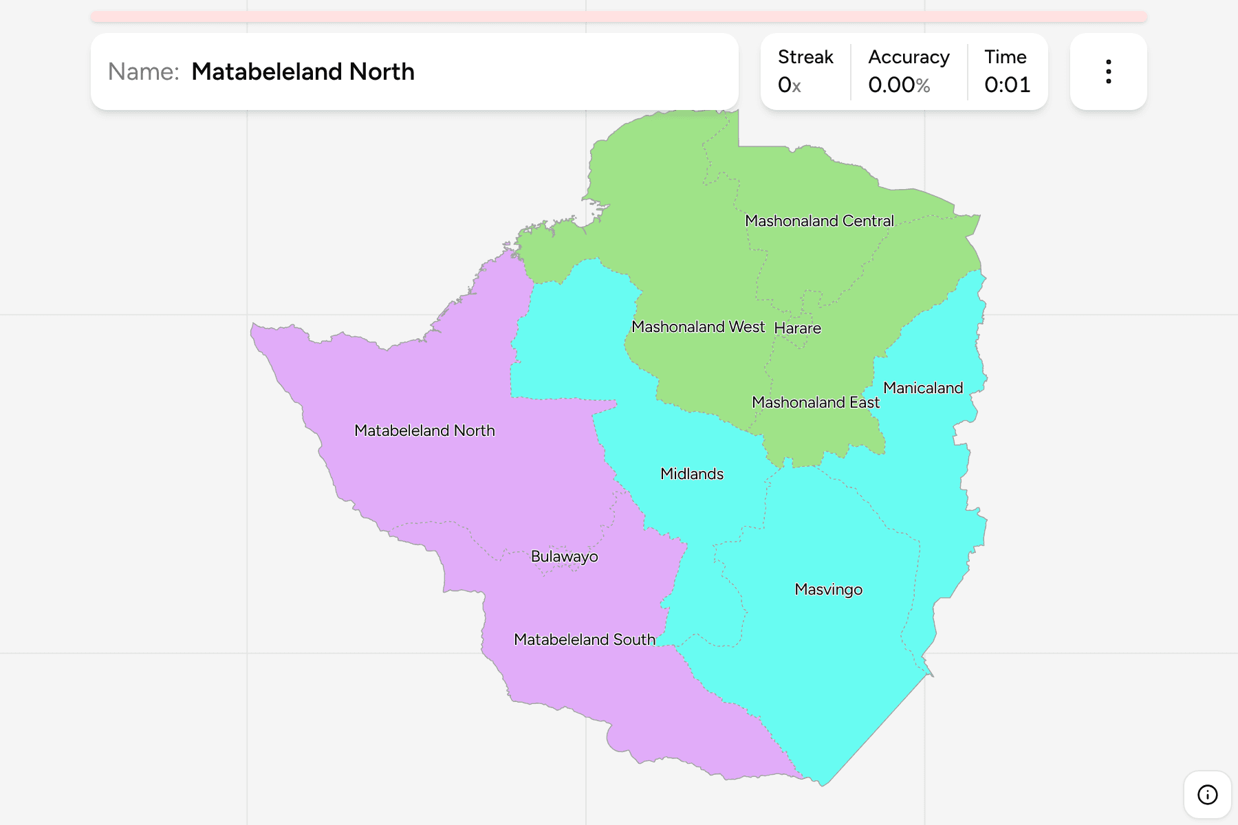
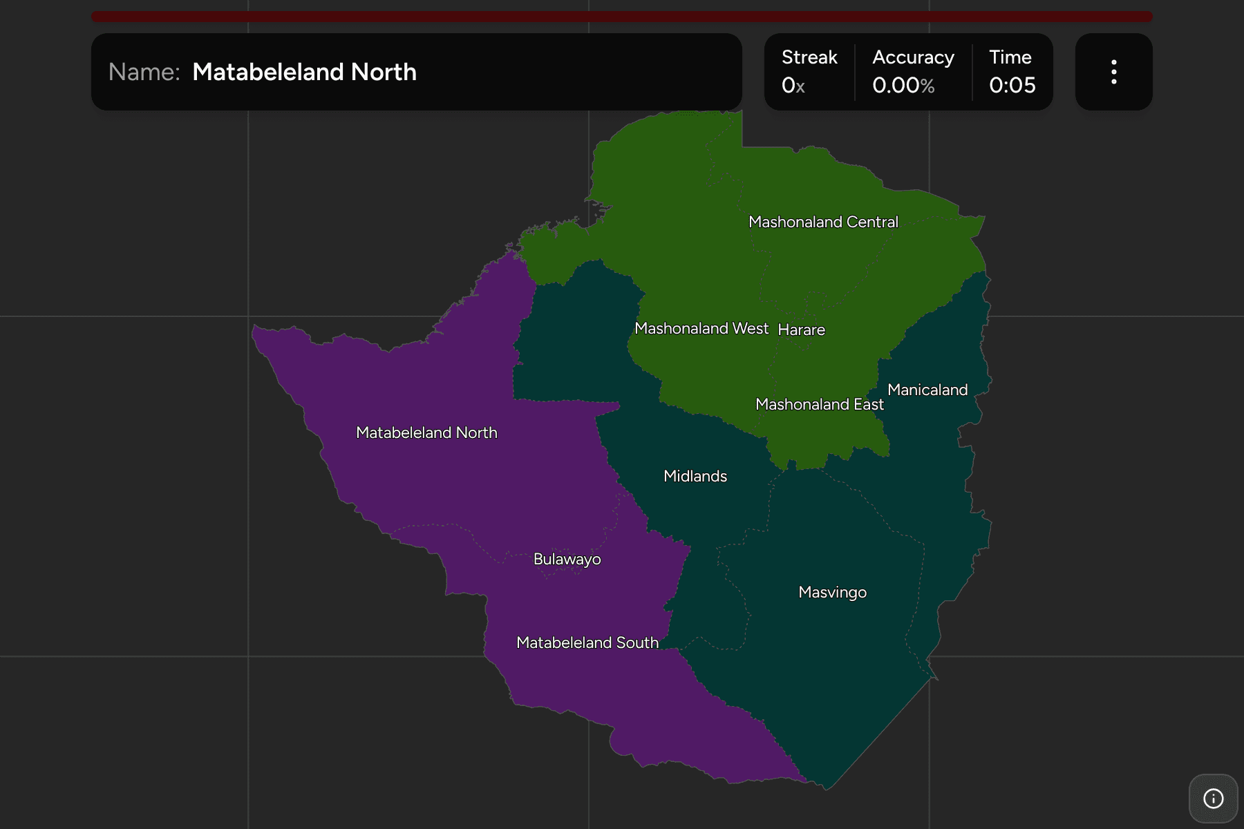
Zimbabwe Provinces
Can you locate all 10 provinces of Zimbabwe?
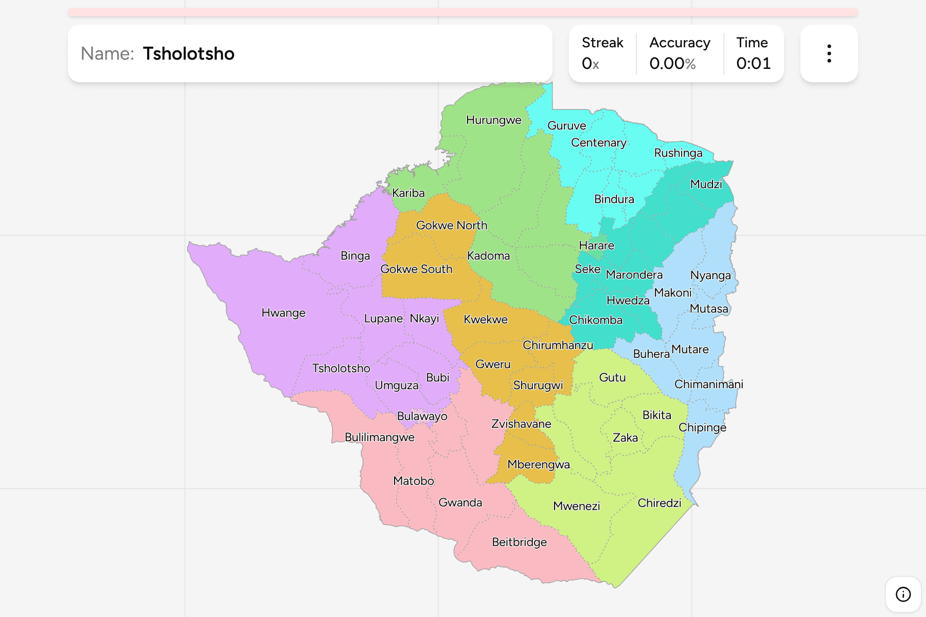
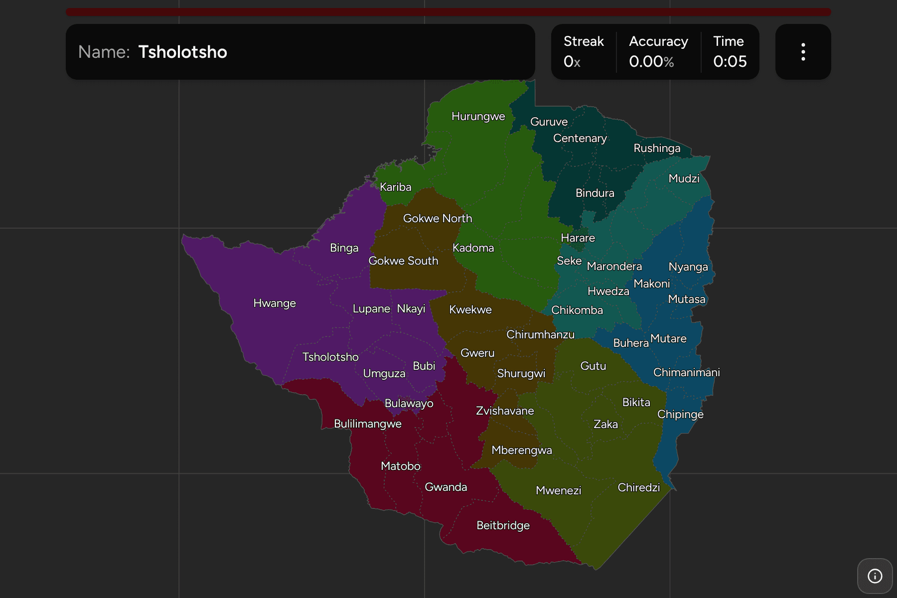
Zimbabwe Districts
Can you place all 59 districts of Zimbabwe?
Browse another country
Every game here is also in the game library, and under Africa and Admin on the category hubs.