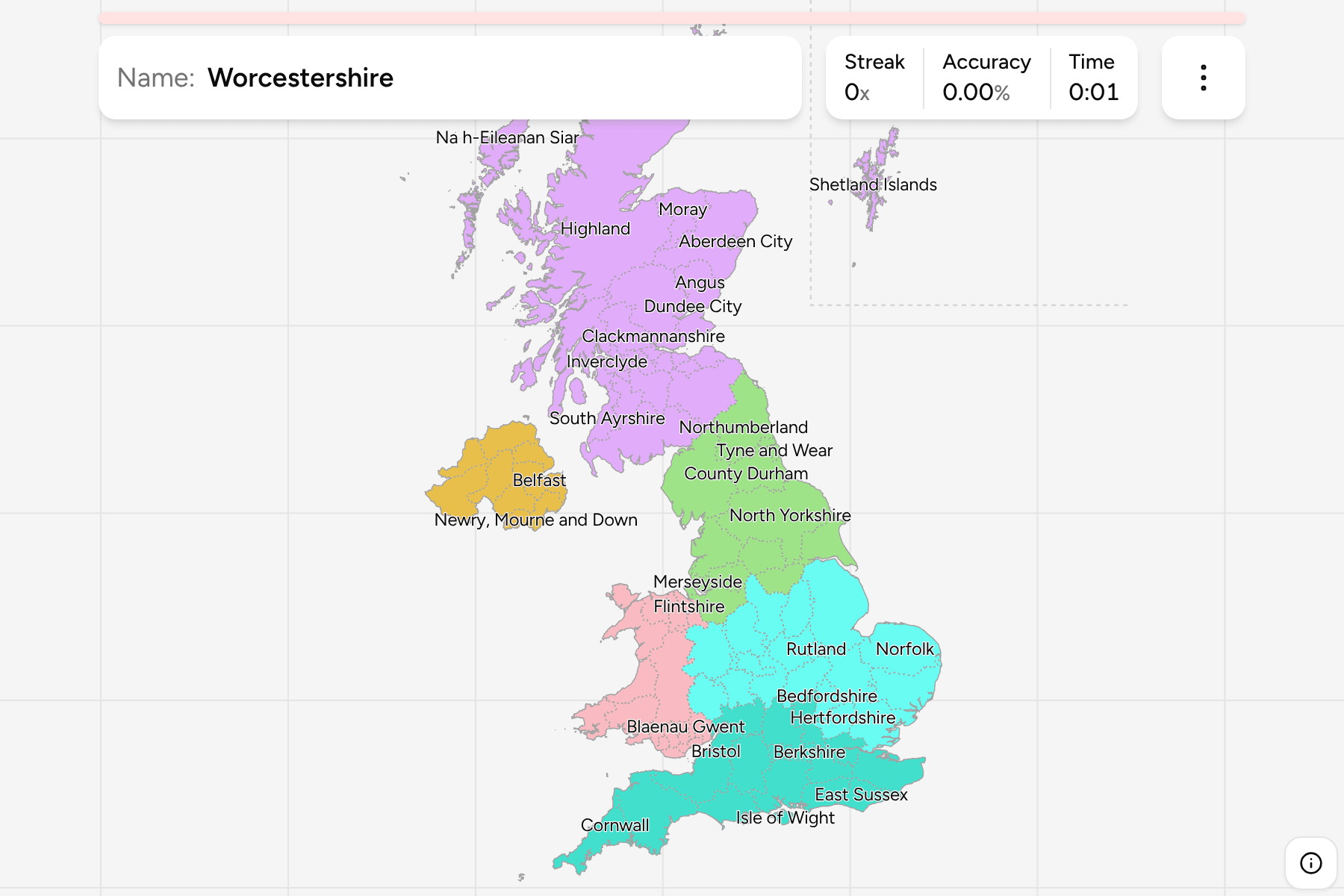
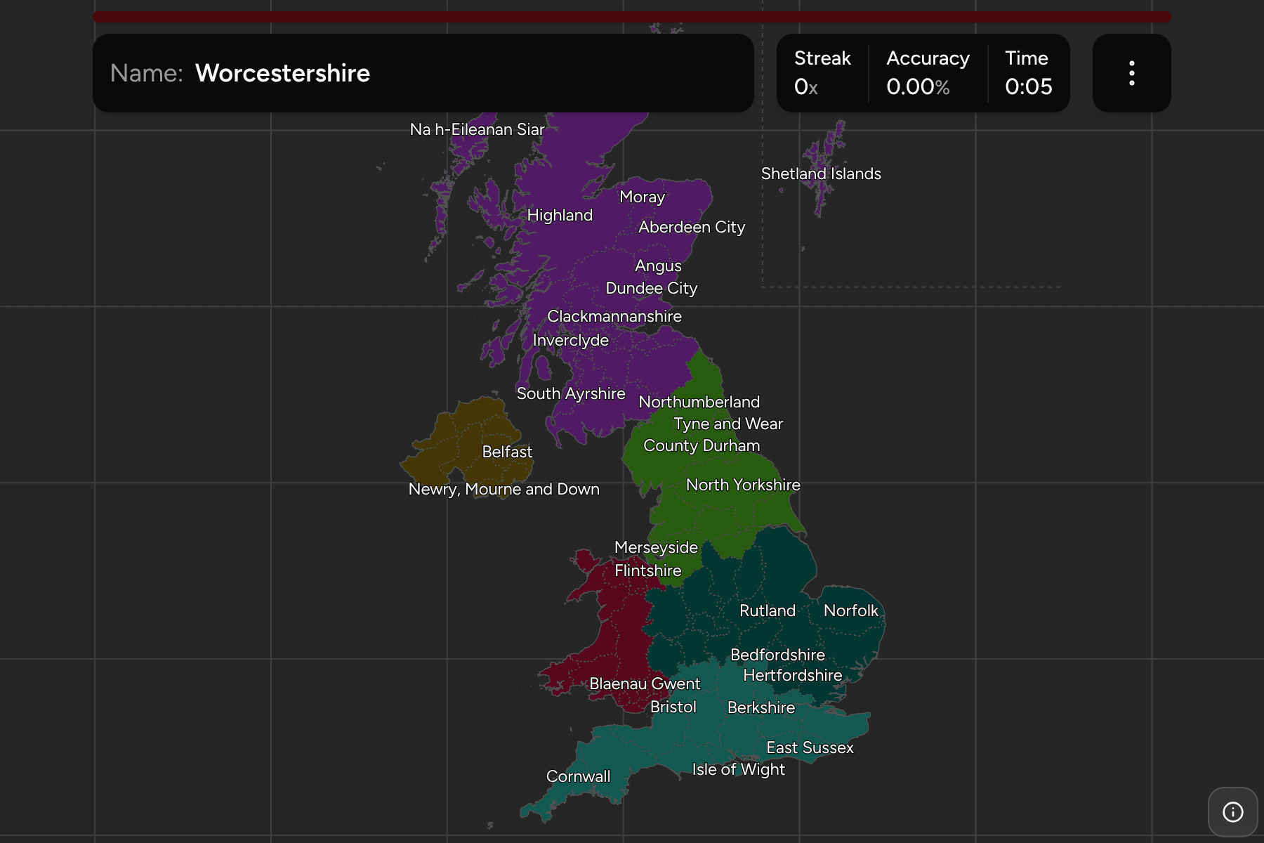
Ask a Briton where they are from and the answer is a county, a council area or a
district, depending on which of the four countries they are standing in. This
quiz is the map as they would draw it: England's ceremonial counties, Scotland's
council areas, Wales' principal areas and Northern Ireland's districts, all on
one canvas. This page is what that mix is, the groups worth learning it in, and
what puts you inside one from a photograph.
- The quiz
- Name to place, on the map
- Where it helps
- Sign language, road numbers, plate memory tags, building stone
- In the game
- 112 areas
What you are looking at
The United Kingdom has no single second tier, so this map uses the one each
country uses for itself.
England is its ceremonial counties. These are the counties of the Lieutenancies
Act: the lines the King's lord-lieutenants cover, which are also the ones on a
postcard, a cricket scorecard and a road atlas. They are not the lines councils
are run along. A ceremonial county like Berkshire has no county council, and
Bristol, Hull and Plymouth are cities that run themselves inside the counties
around them, so this map draws each unitary authority in the county it belongs
to. Greater London is one target, with the City of London folded into it, and the
Isles of Scilly are part of Cornwall.
Scotland is its 32 council areas, which are the unit everything from bin
collection to election counts is run by. Wales is its 22 principal areas,
a mix of counties, county boroughs and cities, and the unit its councils are
elected in. Northern Ireland is its 11 districts. It still has six
traditional counties, Antrim, Armagh, Down, Fermanagh, Londonderry and Tyrone, but
its districts cut across them, so the districts are what a map can honestly draw.
Shetland has been moved. The islands lie a degree and a half north of
Orkney, and drawing them in place would shrink every other county on the map by a
sixth. They are shown in the North Sea east of Aberdeenshire, inside a line
that marks them as an inset.
How to place one
- Read the language on the sign. Every road sign in Wales is bilingual,
Welsh and English, by law, and "Araf" painted on the tarmac is Welsh for slow.
Gaelic appears beside English across the Highlands and Islands.
- Then take the road number. Great Britain's A roads are numbered in zones
fanning out clockwise from London, and 7, 8 and 9 belong to Scotland. An A1 or
A6 is the north and east of England, an A3 or A4 the south and west.
- Then read the plate. The first two letters of a modern plate say which
DVLA office issued it: S is Scotland, C is Cymru, B is Birmingham, L is
London, M is Manchester, Y is Yorkshire. Northern Irish plates are the old
three letter style and always contain an I or a Z.
- Then read the buildings. Red brick across the Midlands, honey limestone in
the Cotswolds, gritstone and drystone walls in the Pennines, flint in East
Anglia, granite in Cornwall and Aberdeen.
- Then narrow inside the group. The six groups below are this game's own
filters.
Every area, by group
- Northern England12 areas
- Cheshire, Cumbria, County Durham, East Riding of Yorkshire, Greater Manchester, Lancashire, Merseyside, North Yorkshire, Northumberland, South Yorkshire, Tyne and Wear, West Yorkshire
- Scotland32 areas
- Aberdeen City, Aberdeenshire, Angus, Argyll and Bute, City of Edinburgh, Clackmannanshire, Dumfries and Galloway, Dundee City, East Ayrshire, East Dunbartonshire, East Lothian, East Renfrewshire, Falkirk, Fife, Glasgow City, Highland, Inverclyde, Midlothian, Moray, Na h-Eileanan Siar, North Ayrshire, North Lanarkshire, Orkney Islands, Perth and Kinross, Renfrewshire, Scottish Borders, Shetland Islands, South Ayrshire, South Lanarkshire, Stirling, West Dunbartonshire, West Lothian
- Midlands and East of England18 areas
- Bedfordshire, Cambridgeshire, Derbyshire, Essex, Herefordshire, Hertfordshire, Leicestershire, Lincolnshire, Norfolk, Northamptonshire, Nottinghamshire, Rutland, Shropshire, Staffordshire, Suffolk, Warwickshire, West Midlands, Worcestershire
- Northern Ireland11 areas
- Antrim and Newtownabbey, Ards and North Down, Armagh City, Banbridge and Craigavon, Belfast, Causeway Coast and Glens, Derry City and Strabane, Fermanagh and Omagh, Lisburn and Castlereagh, Mid and East Antrim, Mid Ulster, Newry, Mourne and Down
- Southern England17 areas
- Berkshire, Bristol, Buckinghamshire, Cornwall, Devon, Dorset, East Sussex, Gloucestershire, Greater London, Hampshire, Isle of Wight, Kent, Oxfordshire, Somerset, Surrey, West Sussex, Wiltshire
- Wales22 areas
- Blaenau Gwent, Bridgend, Caerphilly, Cardiff, Carmarthenshire, Ceredigion, Conwy, Denbighshire, Flintshire, Gwynedd, Isle of Anglesey, Merthyr Tydfil, Monmouthshire, Neath Port Talbot, Newport, Pembrokeshire, Powys, Rhondda Cynon Taf, Swansea, Torfaen, Vale of Glamorgan, Wrexham
The groups are this game's own cut. England is split into the three bands it
is usually described in, and the other three countries have a group each, since
32, 22 and 11 areas are each a quiz of their own. Each one can be switched on and
off in the game's start dialog.
Worked examples
Greater LondonThe small one everybody overshootsGreater London is the 32 boroughs and the City, drawn in 1965. Watford, Dartford,
Epsom and Slough are not in it, and neither is anything beyond the M25 on the
outer side. Inside, the giveaway is the transport system: red buses with route
numbers, the roundel on a station, red routes on main roads and black cabs.
Anything more than about 20 miles from the centre is Hertfordshire, Surrey,
Kent or Essex.
HighlandThe one that is a third of ScotlandHighland is the largest area on the map, bigger than Wales, and most of it has
nobody in it. It runs from the Great Glen to the north coast and takes in the
Isle of Skye. Place it by what it is not: the central belt around Glasgow and
Edinburgh is south and east of it, and the Western Isles, which also carry
Gaelic signs, sit across the Minch.
West YorkshireWhy there is no YorkshireYorkshire is not on this map as one target, because it is four ceremonial
counties: North, South and West Yorkshire and the East Riding. West Yorkshire is
the industrial one, Leeds, Bradford and Wakefield, and it sits between the
Pennines and the Vale of York. Everyone still says Yorkshire, so the four are
drawn side by side and the answer you click is the county.
Frequently asked questions
How many counties does the UK have?
It depends on the country. England has 48 ceremonial counties, which this quiz draws as 47 with the City of London folded into Greater London. Scotland has 32 council areas, Wales 22 principal areas and Northern Ireland 11 districts, and together they give the 112 areas in this game.
What is a ceremonial county?
A ceremonial county is the area a lord-lieutenant covers, and it is the county on a postcard or in an atlas. It is separate from the administrative county that runs services: Bristol, Hull and Plymouth run themselves but sit inside ceremonial counties. The boundaries are the ones most people mean when they name an English county.
Why are there no Northern Ireland counties?
Northern Ireland has six traditional counties, but they have had no government since 1973 and its 11 districts cut across them. The districts are the tier with boundaries to draw, so they are what the quiz uses.
Why is Shetland not where it should be?
Shetland is a council area of its own and has to be answerable, but drawing it in place, a degree and a half above Orkney, would shrink every other area on the map by about a sixth. So it is moved into the North Sea east of Aberdeenshire and boxed off with a line.
Is Yorkshire a county?
The historic county is, but today it is four ceremonial counties: North Yorkshire, South Yorkshire, West Yorkshire and the East Riding of Yorkshire. They are four separate targets here.
For the tier above this one, try UK Nations and Regions. For other
European administrative maps, try Ireland Counties, France
Departments and Germany States.
Sources
- Counties and Unitary Authorities, December 2025, the ONS boundaries the map is built from, under the Open Government Licence v3.0
- Ceremonial counties of England, which authority belongs in which county
- Subdivisions of Scotland, Wales and Northern Ireland, council areas, principal areas and districts
- Great Britain road numbering scheme, the zones that make a road number worth reading
- Vehicle registration plates of the United Kingdom, the memory tags, and why Northern Irish plates look different